
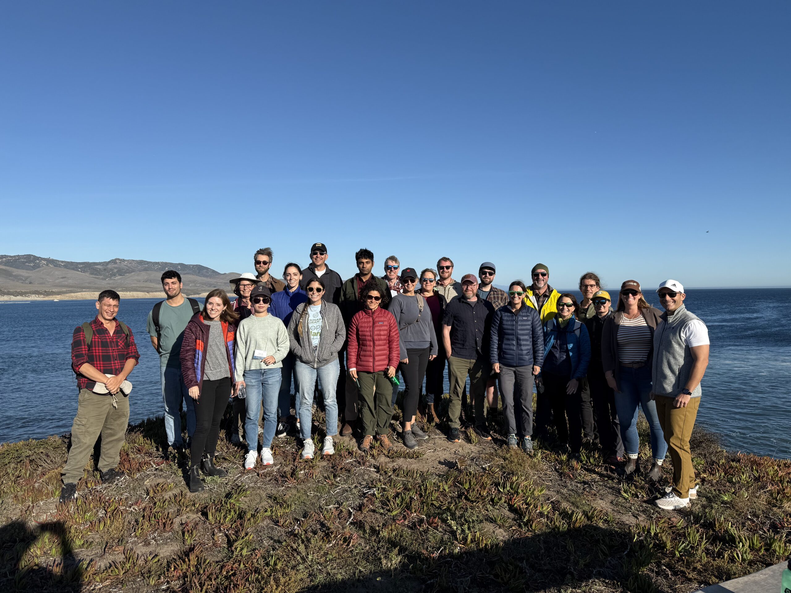
The Center for Spatial Science is housed within the Department of Geography at UC Santa Barbara and has the mission to collaboratively design, implement, and disseminate advanced spatial science for a better world.
- Design: We pioneer interdisciplinary research at the intersection of spatial data science, developing next-generation methods and convening global experts to set the research agenda.
- Implement: We deploy spatially-informed AI and community-embedded research to tackle the world’s most pressing environmental and societal challenges.
- Disseminate: We champion future-ready GIScience education, integrating GeoAI literacy into curricula at all levels to expand the reach of the geographic approach.
The leadership team at the Center for Spatial Science includes Director Trisalyn Nelson and Associate Directors Somayeh Dodge and Peter Kedron. In total, there are six core faculty, five associated faculty, five staff, 24 graduate students, and two postdocs.
Key activities in the Center for Spatial Science are Spatial Hours, which include presentations and discussion, and GIScience specialist meetings, which most recently focused on Disruptions in Science (2023) and GIScience for Conservation (2024). Additionally, the Center organizes annual student field trips to Esri and distributes fellowship and internship opportunities, including the Goodchild Fellowship and the Interdisciplinary Internship.
@Spatial’s diverse research highlights collaborations among multiple faculty members. Such research includes the UCSB Guide to the Geographic Approach, a collaboration with Esri and professionals from across the field to create a modern GIScience curriculum. The Wildfire Resilience Initiative, which applies spatial technologies and data to wildfire research and resilience, is funded by Yardi. The Research Digital Twin of the Dangermond Preserve, a collaboration with The Nature Conservancy, Point Conception Institute, and Esri to leverage vast spatial data and GeoAI to create a working model of the 25,000-acre protected area.
Housed within the Center for Spatial Science, the GIS Earth Observing Services (GEOS) Center provides geospatial services backed by @Spatial researchers. Their expertise spans spatial analysis, geographic information science, transportation systems, remote sensing, urban and regional science, wildfire, and habitat restoration monitoring. GEOS research includes developing an Active Transportation Dashboard for Santa Barbara County that integrates spatial data to visualize bicycle and pedestrian travel and identify potential barriers to movement. Researchers are also quantifying bicycle use and safety across the Central Coast, combining bicycle traffic and collision data to identify high-risk areas and better inform transportation planning.