*Reminder* LiDAR for California Forum, 12/5 at 12-1:30 pm

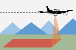
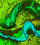
The CGIA Community Forum (formerly known as the California GIS Council) is pleased to invite all in the California GIS Community of Practice to attend the LiDAR for California Forum on Thursday, December 5, 2024, at 12 noon to 1:30…
Read more

