Dewberry is a national professional services firm that integrates geospatial technology with engineering, planning, and data management to support public agencies across the United States. With decades of experience in GIS, remote sensing, and spatial analytics, Dewberry delivers practical, scalable solutions that help clients better understand and manage their infrastructure, assets, and communities.
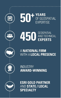
Dewberry’s geospatial practice includes more than 450 GIS professionals supporting projects at the federal, state, and local levels. The firm focuses on enterprise GIS modernization, data governance, and system integration, building environments that are reliable, interoperable, and aligned with day-to-day operations. Dewberry is a leader in implementing the Esri suite of solutions, while also incorporating tools like FME for data transformation and integration, Microsoft Power Platform for dashboarding and workflow automation, and open-source technologies where appropriate.
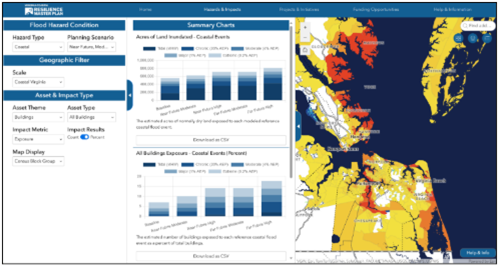
A core part of Dewberry’s approach is developing high-quality, authoritative data and ensuring it remains accurate, consistent, and usable over time. The firm establishes governance processes, integrates GIS with business systems, and supports workflows that improve how agencies collect, manage, and apply their data. Dewberry applies geospatial solutions across transportation, utilities, public safety, environmental management, and emergency response. The team develops dashboards, web applications, and analytical tools that translate complex datasets into clear, actionable insights, enabling agencies to monitor conditions, assess risk, and make informed decisions.
To discuss Dewberry’s services and solutions, please reach out to Jacob Mark at jmark@dewberry.com. We’d love to discuss how we can help!