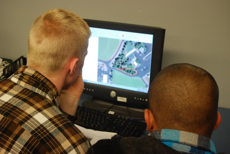
Shasta College's GIS Program is the state’s longest running community college program north of Sacramento. The foundation courses were developed to support the retraining of laid off timber workers in the mid-1990s. By the end of the decade the addition of several courses allowed for the creation of a GIS Certificate, which has been continuously offered for almost 30 years. Over the years, of course, there have been many changes. The program transitioned from ArcView to ArcMap and later to ArcGIS Pro, ArcGIS Online, Field Maps and peripheral apps.
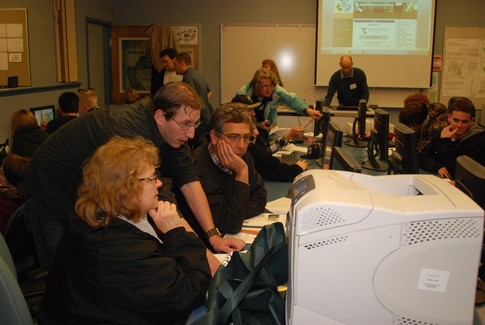
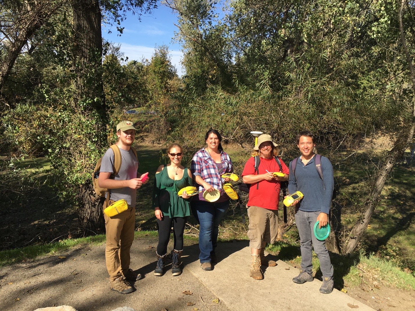
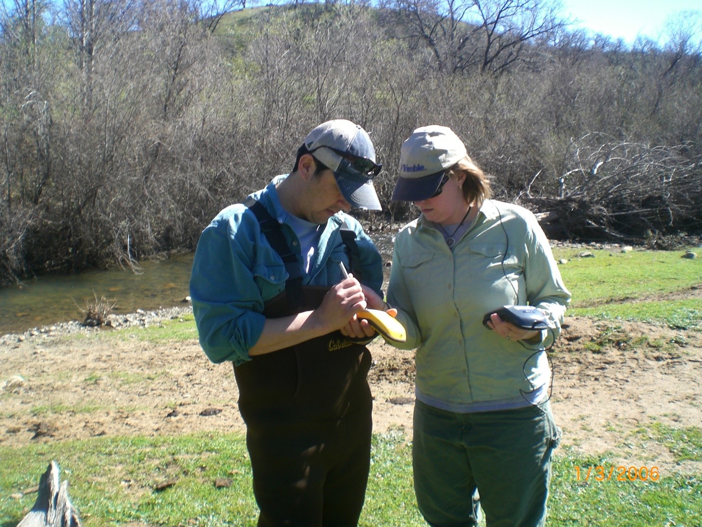
The GIS Program has always worked closely with government, industry and the community. Students gain experience through field trips, cooperative projects and work experience education. In the late 1990s, GIS faculty at Shasta College founded the Redding Area GIS User group, and later the regional GIS web platform NorthStateGIS.org, both of which remain active. Shasta College’s GIS Program has also hosted annual GIS Days for over 25 years.
Redding has long had a strong GIS professional community. For example, VESTRA Resources was founded by early GIS adopters, including Dean Angelides, currently Managing Director of International Corporate Director at Esri. Dean is a former GIS program advisor and was instrumental in guiding the early formation of Shasta College’s GIS program.
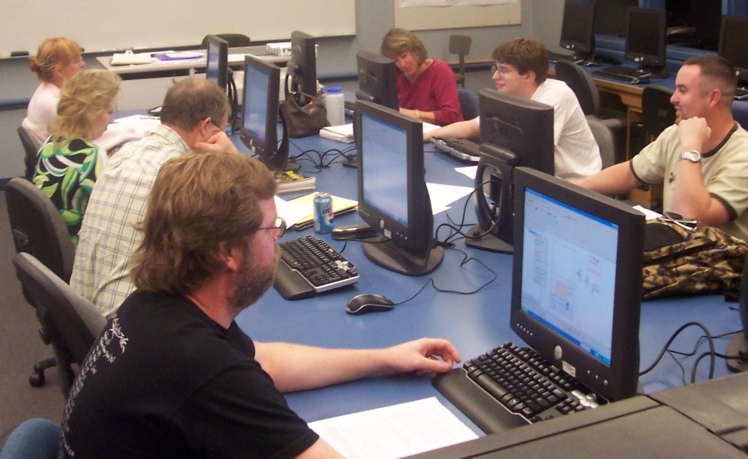
In the past decade, the GIS Program, which includes both a 1-year GIS Certificate and 2-year A.S. Degree, has pivoted to full online delivery (some courses are still offered in-person as well). This permits the program to expand its reach and to leverage online course management software. Courses are designed with best-practices pedagogy, including the guidelines established by the Online Learning Initiative.
The GIS Program continues to leverage its strengths: conceptual foundations, ArcGIS fundamentals, practical application, and community engagement. GeoAI is here and the program is working to incorporate appropriate elements into their courses, while emphasizing the value of learning ‘from the ground up’.
More details at www.shastacollege.edu/gis