
CGIA announced the winners of the 2016 Awards last month at the CalGIS Conference in Anaheim.
Advancement of Collaboration Award
Granted for outstanding application of GIS technology representing innovative, elegant, or creative techniques. The technology may be transparent to the end user and is not required to display map output.
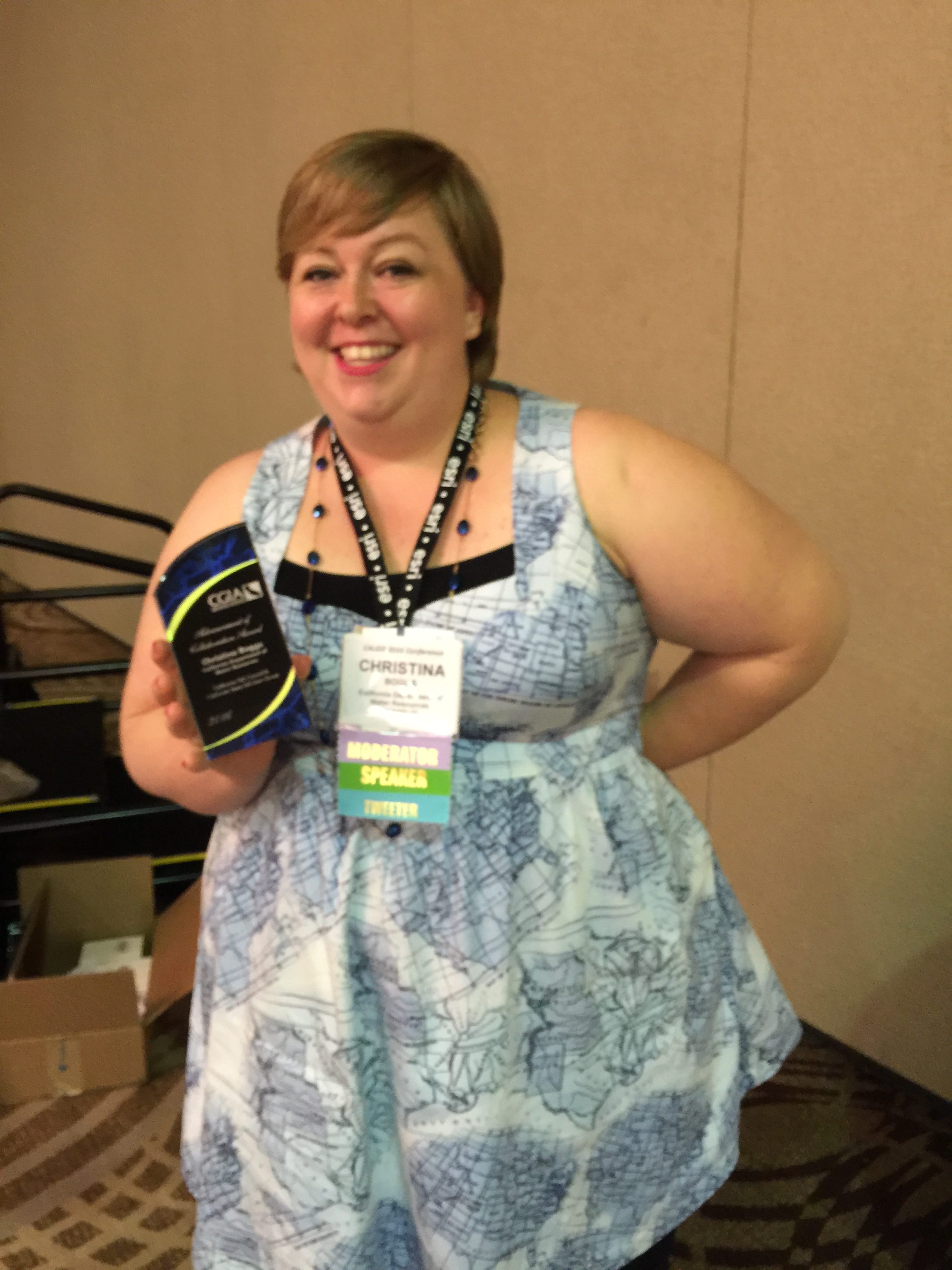
Winner: Christina Boggs, California Department of Water Resources
Nomination description: Christina Boggs has been instrumental in facilitating, organizing, assisting and insuring the success of the California GIS Council and California State GIS User Group. Besides her own significant work load, she goes out of her way to ensure those outside the Sacramento GIS community can establish partnerships, networks and access important data. She has taken time out of her busy schedule on multiple occasions to answer my questions about who might have data I'm seeking or who would be an important contact in terms of establishing a partnership. She is an exemplary example of someone who advances collaboration in the realm of GIS.
Chair's Award
Granted to honor a person who has made outstanding contributions in the promotion, innovation, and/or use of GIS technology. The recipient should show continued, exemplary contributions over the course of a prolonged period of time.
Winner: Eric Kauffman, California Department of TechnologyÂ
Nomination description: Eric Kauffman is a leader in GIS application development for the state of California, where he has worked for over 15 years.  Eric currently leads GIS development for California Department of Technology and has written and maintains several geocoding services using public domain TIGER data, ESRI data and Bing data for public use and government use. This service can geocode millions of addresses in batch in a short period of time. He wrote several applications for the California Board of Equalization including the Find a Sales and Use Tax Rate application - https://maps.gis.ca.gov/boe/TaxRates, and a soon to be released a tax rate API (Application Programming Interface) to provide sales and use tax rates for retailers.
Above all else Eric is great to work with and provides excellent support, all with a sense of humor. Eric currently works as a GIS Programmer for the Office of Digital Innovation and Technology Engagement at the California Department of Technology. In the past Eric has worked for the California Resources Agency, the California Department of Fish and Game, and has taught GIS classes at American River College.
Excellence in Education Award
Granted to the educational institution that displays extraordinary approach, contribution, development or commitment to GIS education in California.
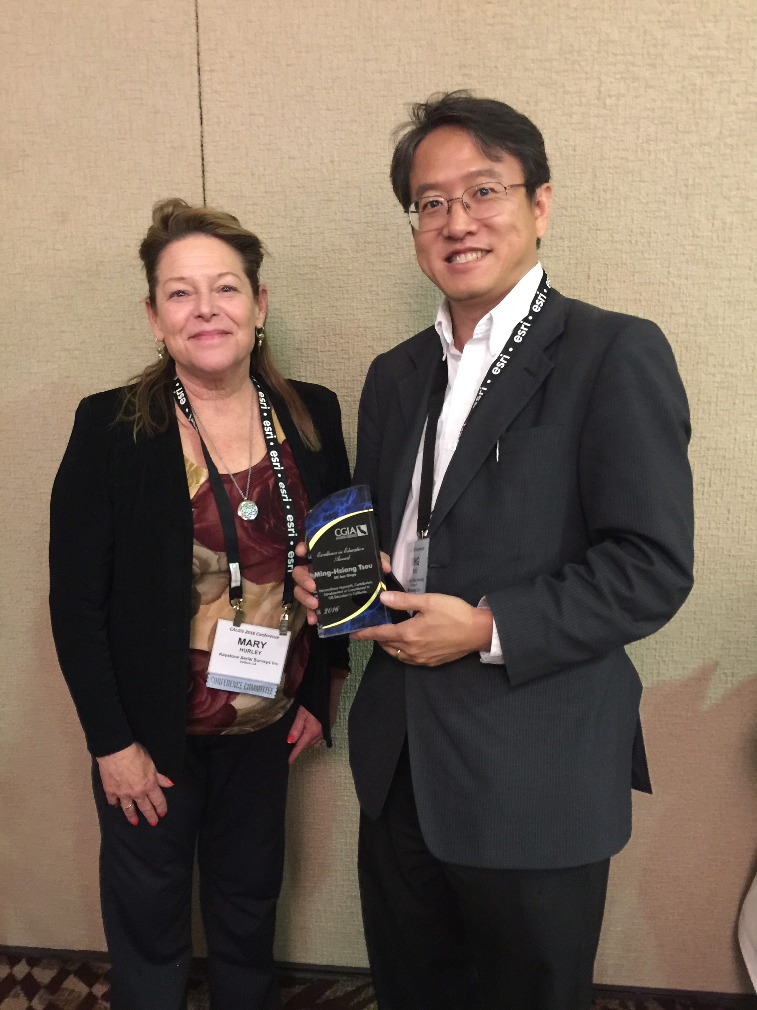
Winner: Ming-Hsiang Tsou, San Diego State University
Nomination description:Â Ming has an impressive array of funded research and projects happening at SDSU, and he is a global leader in mobile GIS applications and social media data mining. But the reason for this nomination is his commitment to supporting K-12 education. He is Geospatial Technology Coordinator for the California Geographic Alliance, has contributed to the development of GIS courses in San Diego City Schools, Â and has volunteered to serve on the committee for the new AAP course in GIS.
Exemplary Systems Award
Granted for outstanding application of GIS technology representing innovative, elegant, or creative techniques. The technology may be transparent to the end user and is not required to display map output.
Winner: City of Rancho Cucamonga Executive Dashboard Mobile App

Nomination description:Â The executive dashboard mobile app built on the Esri technology by the Department of Innovation & Technology (DoIT) team provides situational awareness of all incidents for both fire, police departments and other departments to the city executive staff. The app provides the sends notification of critical incidents with pictures to city executives aimed at providing supporting effective communication with elected officials should they call about a particular incident. The app provides the ability to pull up various information from different city departments. The app also put key information into the hands of decision makers as they are able to answer concerns from residents effectively. The app works on both iOS and android platforms and provides some analytics on call for services.
Outstanding Internet Application Award
Granted to the outstanding integration of GIS and web technologies demonstrating excellence in aesthetic presentation, functionality, ease of use, and overall user experience.
Filed Map Search Tool
Winner: Lewis Rowley, County of Napa
Nomination description:Â The Filed Map Search Tool is a web-based application that combines the functionality of 11 separate internal and public-facing applications into one easy-to-use interface. It allows County staff to index new Filed Maps (Records of Survey, Parcel Maps, Assessor Map Pages, Corner Records, etc) and associated Certificates of Correction. Once the data has been entered, County staff and citizens have a variety of tools to search for maps. This includes attribute searches by title, book & page or surveyor name, as well as, spatial searches by address and parcel number.
All the search results return a thumbnail view of the map. This allows external customers to preview the map before committing to viewing it. Only external customers who have a subscription account can view the full-size maps and they are charged for each page they view. The preview allows them to skip over index pages and cover sheets they may not need. The search also lists out all related documents and corrections.
The County’s first feedback and customer rating app is integrated with the Filed Map Search Tool so users can provide direct input to the developers. There is also a mobile-friendly version of the application for users with tablets or smartphones.
The Filed Map Search Tool was built using C# and MVC 5 and leverages the spatial SQL functionality of SQL Server 2008. The internal version was released in February, 2016 and the external version goes live on March 28, 2016.